Uses rosm::osm.image() to add background tiles. If you are publishing
a map using these tiles, make sure to use the proper attribution
(e.g., "Copyright OpenStreetMap contributors" when using an
OpenStreetMap-based tile set).
annotation_map_tile(
  type = "osm",
  zoom = NULL,
  zoomin = -2,
  forcedownload = FALSE,
  cachedir = NULL,
  progress = c("text", "none"),
  quiet = TRUE,
  interpolate = TRUE,
  data = NULL,
  mapping = NULL,
  alpha = 1
)

GeomMapTile
Format
An object of class GeomMapTile (inherits from Geom, ggproto, gg) of length 5.
Arguments
- type
The map type (one of that returned by rosm::osm.types)
- zoom
The zoom level (overrides zoomin)
- zoomin
Delta on default zoom. The default value is designed to download fewer tiles than you probably want. Use
-1or0to increase the resolution.- forcedownload
Re-download cached tiles?
- cachedir
Specify cache directory
- progress
Use
progress = "none"to suppress progress and zoom output- quiet
Use
quiet = FALSEto see which URLs are downloaded- interpolate
Passed to
grid::rasterGrob()- data, mapping
Specify data and mapping to use this geom with facets
- alpha
Use to make this layer semi-transparent
Value
A ggplot2 layer
Examples
# \donttest{
library(ggplot2)
load_longlake_data(which = "longlake_waterdf")
ggplot() +
annotation_map_tile(zoom = 13, cachedir = system.file("rosm.cache", package = "ggspatial")) +
geom_sf(data = longlake_waterdf, fill = NA, col = "grey50")
#> Zoom: 13
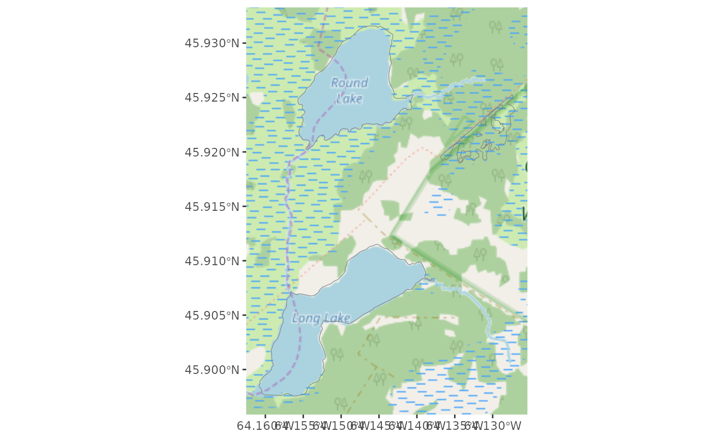 # }
# }